Google Earth Engine- A new era of mapping technology
February 25, 2023 2023-02-25 20:15Google Earth Engine- A new era of mapping technology
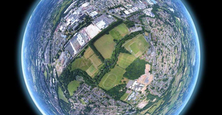
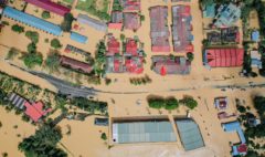
Google Earth Engine(GEE) is a cloud-based geospatial analysis platform developed by Google. It provides access to a vast amount of remotely-sensed data, such as satellite imagery, as well as various tools for analyzing and visualizing this data. The platform is designed for analyzing large-scale geospatial data sets and enabling scientists, researchers, and developers to create applications that can visualize and analyze these data sets at scale.
key features of Google Earth Engine include:
- Access to a wide range of GIS data sets, including satellite imagery, climate data, and topographic data.
- A powerful programming platform based on the JavaScript programming language, which allows users to build custom geospatial analysis applications and models.
- Built-in analysis and visualization tools that make it easy to explore geospatial data sets and identify patterns and trends.
- Integration with other Google products, such as Google Maps and Google Drive, which makes it easy to share data and analysis results with others.
- Google Earth Engine is used by a wide range of organizations and individuals, including researchers, non-profits, and governments, for a variety of applications, such as mapping land use, monitoring deforestation, and analyzing climate change impacts.
-
Case Study
case study for GEE as the use of the platform for monitoring and managing forest resources. The platform’s capabilities for processing and analyzing large volumes of satellite data make it an effective tool for tracking changes in forest cover, identifying areas at risk of deforestation, and assessing the impact of human activities on forest ecosystems.
For instance, a team of researchers used Google Earth Engine to map forest cover in the Brazilian Amazon, a region that has experienced significant deforestation in recent years. They utilized Landsat satellite data to create annual maps of forest cover from 1975 to 2017, enabling them to analyze changes in forest cover over time. The analysis showed that the rate of forest loss had slowed in recent years, but that some areas remained at high risk of deforestation due to human activities such as logging, agriculture, and mining.
In conclusion, Google Earth Engine is a valuable tool for anyone who requires access to geospatial data sets and wants to analyze them at scale. Its ease of use, powerful programming platform, and integration with other Google products make it a platform of choice for researchers, developers, and scientists. The availability of a vast collection of remotely sensed data sets makes it possible to analyze large-scale changes in the environment and track changes over time. Google Earth Engine is a valuable asset for anyone involved in geospatial data analysis and research.
Abbreviation
GIS: A geographic information system (GIS) is a computer system that generates, maintains, analyses, and maps various types of data. GIS integrates data to a map by combining location data (where objects are) with other forms of descriptive data (what things are like there).
Remote sensing: Remote sensing is the practice of detecting and monitoring an area’s physical features from a distance by measuring it’s reflected and emitted radiation (typically from satellite or aircraft).
Landsat: Landsat satellites have the optimal ground resolution and spectral bands to track land use efficiency and to document land change due to climate change, urbanization, drought, wildfire, biomass changes (carbon assessments), and a host of other natural and human-caused changes.