
GIS Application In Mining Industry
March 27, 2023 2023-03-27 4:37GIS Application In Mining Industry
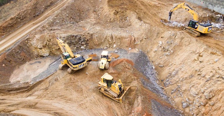
Geographic Information Systems (GIS) can be a powerful tool for the mining industry, providing a range of applications to improve exploration, development, production, and reclamation processes.
Here are some examples of GIS applications in mining:
- Exploration: GIS can be used to create detailed maps of geological features, such as mineral deposits, geological structures, and surface topography. This information can help miners identify areas with high mineral potential and plan drilling programs more efficiently.
Environmental management: GIS can be used to monitor and manage the environmental impacts of mining operations, including water quality, air quality, and wildlife habitats. This information can help mining companies comply with environmental regulations and develop sustainable mining practices.- Safety management: GIS can be used to monitor and manage safety risks in mining operations, such as rockfall hazards, ventilation systems, and equipment location. This information can help mining companies identify potential safety hazards and take steps to mitigate them.
- Mine planning: GIS can be used to create 3D models of mining operations, allowing miners to visualize the spatial relationships between mine infrastructure, mineral deposits, and other features. This information can help miners optimize mine planning and design, reducing costs and increasing efficiency.
-
Case Study
One notable case study of GIS application in mining is the use of GIS in the development of the Escondido copper mine, located in northern Chile, one of the largest copper mines in the world.
GIS was used to create a comprehensive spatial database of the mine site, including geological features, environmental conditions, and land use. This information was used to guide the mine planning process and optimize the placement and design of mine infrastructure, reducing costs and increasing efficiency.
GIS was also used to create a real-time monitoring system for water management, tracking water flows, water quality, and water usage in mining operations. This information was used to optimize water management practices and minimize the environmental impact of water use.
In addition, GIS was used to create a monitoring system for the mine’s tailings, and the waste material generated by the mining operations. This system allowed the mine operators to track tailings production, storage, and disposal, ensuring compliance with environmental regulations and minimizing the risk of environmental incidents.
Overall, GIS can help mining companies make informed decisions about exploration, environmental management, safety, and mine planning, leading to more sustainable and efficient mining operations.