

Advanced GIS Analysis with AI and Machine Learning
Geographic Information Systems (GIS) have evolved significantly, and the integration …

Integrating GIS and BIM: Unlocking the Potential for Smarter Cities
Introduction The architecture, engineering, and construction (AEC) industry is undergoing a …

Utilizing GIS and Remote Sensing in Managing Urban Sprawl: A Case Study
Introduction Urban sprawl, characterized by uncontrolled, scattered, low-density development beyond the …

Mapping of Flooded Areas using Geospatial Technology: A Case Study
Flooding, one of the most common and destructive natural disasters, has …

Current Trends in Digital Agriculture: A Deep Dive with Case Studies
Introduction Digital agriculture, also known as precision agriculture or smart farming, …

Maximizing the value of GIS in Business Operations
Benefits of GIS in Business Operations Geographic Information Systems (GIS) have …

Applications of Geostatistics and GIS
Introduction to Geostatistics and GIS Geostatistics and GIS (Geographic Information Systems) …

Smart cities for a sustainable future
Smart cities using GIS Smart cities are using geographic information systems …

Spatial Ecology and Conservation
Spatial ecology and conservation are two interconnected fields that aim …

GIS in Geology and Earth Sciences
GIS (Geographic Information System) is a powerful tool for geologists and …
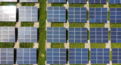
Energy GIS Applications
Geographic Information Systems (GIS) are increasingly being used in the energy …
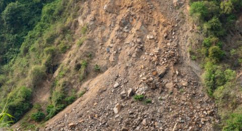
Landslide Vulnerability Mapping Using Geospatial Technology
Landslides are one of the most common natural disasters that affect …