Carbon sequestration using Geospatial technology
September 6, 2022 2022-09-15 0:16Carbon sequestration using Geospatial technology
Carbon sequestration using Geospatial technology
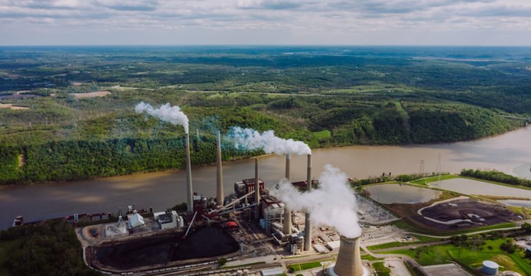
Human activities, especially the burning of fossil fuels such as coal, oil, and gas, have caused a substantial increase in the concentration of carbon dioxide (CO2 ) in the atmosphere.
This increase in atmospheric CO2 —from about 280 to more than 380 parts per million (ppm) over the last 250 years—is causing measurable global warming. Potential adverse impacts include sea-level rise; increased frequency and intensity of wildfires, floods, droughts, and tropical storms; changes in the amount, timing, and distribution of rain, snow, and runoff; and disturbance of coastal marine and other ecosystems.
Rising atmospheric CO2 is also increasing the absorption of CO2 by seawater, causing the ocean to become more acidic (ocean acidification) with potentially disruptive effects on marine plankton and coral reefs.
Carbon sequestration is defined as the process by which CO2 is either removed from the atmosphere or diverted from emission sources and stored in the ocean, terrestrial environments ( vegetation, soil, and sediments), and geologic formations. These processes may be natural or deliberate. (As per USGS )
-
Need for Remote Sensing
There are many conventional methods for quantification of sequestered carbon.
Many of these methods are complicated, expensive, and limited in their coverage.
Such limitations impede sound quantification and monitoring of carbon.
Remote sensing can provide answers against such measurement and monitoring limitations.
The remote sensing approach can meet the requirements of carbon sequestration such as permanent sample plots (MacDicken, 1997) achieved by means of fixed coordinates, coupled with the systematic repetitive characteristic of most satellites. Tucker (1979), Richardson et al (1983), and Christensen and Goudriaan (1993) demonstrated that the reflection of the red, green and near-infrared (NIR)radiation contains considerable information about plant biomass.
-
Case Study

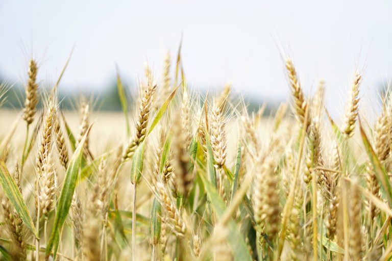
Firstly, MODIS (moderate resolution imaging spectro-radiometer) satellite data was used for the Wheat crops (Tripati et al 2010). For this study, band 1, band 2, and band 7 of MODIS imagery were used to map areas of wheat fields.
According to the farming practice in the study area, MODIS data of Feb 2007, covering the whole of Punjab Province was acquired from NASA (USA). This date corresponds with the late wheat planting season (transplant stage and mature stage). The software package used for image and geo-information analyses was ERDAS IMAGINE 8.4.
Topographic maps, 1:250000 scale land maps, were used in the study.
They used NDVI, to estimate NPP=net primary production, APAR=Absorbed Photo-synthetically Active RadiationLUE=Light Use Efficiency factor, PAR=Photo-synthetically Active Radiation, and finally carbon stock
-
Abbreviation
GIS: A geographic information system (GIS) is a computer system that generates, maintains, analyses, and maps various types of data. GIS integrates data to a map by combining location data (where objects are) with other forms of descriptive data (what things are like there).
Remote sensing: Remote sensing is the practice of detecting and monitoring an area’s physical features from a distance by measuring it is reflected and emitted radiation (typically from satellite or aircraft).
Erdas Imagine: It is an image processing software package that allows users to process both geospatial and other imagery as well as vector data. Erdas can also handle hyperspectral imagery and LiDAR from various sensors.
NDVI: The NDVI is a dimensionless index that describes the difference between visible and near-infrared reflectance of vegetation cover and can be used to estimate the density of green on an area of land


