Geo-medicine: The Future Technology
June 5, 2022 2022-09-15 0:11Geo-medicine: The Future Technology
Geo-medicine: The Future Technology
Introduction to Geo Medicine
Human health and environmental health are not determined by individual variables, particularly in this time of globalization and rapid technological advancement. Geo-medicine is the study and description of the above, this new area focuses on bringing geographic location and environment into consideration when examining individual and public health. For example, it discusses the impact on persons’ health of toxic contaminants in the water, soil, and air of the environment in which they reside.
Geo-medicine utilizes information technology to provide clinicians with information about a patient’s possible environmental exposures when they’re in the test center. We will see an increase in the number of people who benefit from a more accurate clinical knowledge of the relationships between their health and where they live, play, and work as Geo-medicine develops. GIS has historically is being used to track the condition of the planet’s health. GIS is currently being utilized in Geo-medicine to track people’s health. It makes sense since people’s health is dependent on the health of the earth, which is the primary principle for Geo-medicine

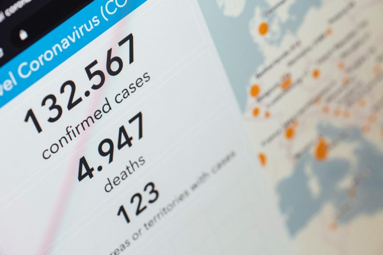
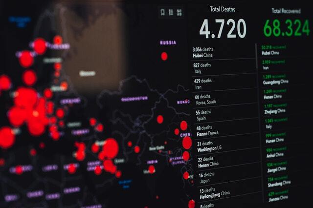
Geo-medicine in real-world Application: Assess and Mapping the Risk of COVID-19 Infection using Geo-medicine
The COVID-19 epidemic has become a global challenge to mankind and the socioeconomic frameworks they have built since the industrial revolution. Because the disease has yet to be cured, only a risk-based decision-making process can assist governments in achieving a long-term sustainable solution. GIS risk-based assessment approach for evaluating COVID-19 risk to places to assist decision-makers in exploring possible responses. Research is being conducted on a region of the Jaipur Municipal Corporation (JMC) in India. The risk analysis and mapping for COVID-19 are separated into three parts.
- The initial stage was to create GIS layers using administrative data (ward), hazard data, socioeconomic data, and biophysical data.
- The second stage was to combine hazard and susceptibility to develop a risk assessment.
- The third stage entailed risk maps for effective decision-making and prioritizing COVID-19 danger regions utilizing Jaipur’s ward-level administration borders for timely action.
The findings revealed disparities in COVID-19 risk zones with a greater risk zone. We recommended prioritising wards in higher risk zones for intelligent decision making on COVID-19 risk reduction by effective management of policy consequences related to resources. It can help as a baseline assessment that can be reproduced in other regions of the country or the world to successfully eliminate the threat of COVID-19. Exploiting the corpus of information developed by the health scientific world will be a critical component in the expanding adoption of Geo-medicine. The capacity to create and organize useful medical material that connects the location to health issues, risks and results will also be crucial.


