GIS in Geology and Earth Sciences
April 25, 2023 2023-04-25 10:17GIS in Geology and Earth Sciences
GIS in Geology and Earth Sciences
GIS (Geographic Information System) is a powerful tool for geologists and earth scientists that enables them to analyze and visualize spatial data. With GIS, geologists can map geological features, create 3D models, and analyze complex data sets. GIS has revolutionized the field of geology, allowing for more accurate and efficient analysis of geological phenomena. In this article, we will discuss the importance of GIS in geology and earth sciences, and present a case study to illustrate its applications.
Importance of GIS in Geology and Earth Sciences
- GIS is a powerful tool for geologists and earth scientists because it allows them to integrate different types of data, such as geological maps, satellite imagery, and geophysical data, into a single platform. This makes it possible to analyze and visualize large amounts of data quickly and accurately, which is essential for understanding complex geological phenomena.
- GIS is particularly useful in the field of geology because it allows geologists to create detailed maps of geological features, such as fault lines, mineral deposits, and rock formations. These maps can be used to identify areas of interest for further exploration, and to assess the potential for mineral deposits and other geological resources.
- GIS is also important in the study of natural hazards , such as earthquakes, landslides, and volcanic eruptions. By analyzing data from a variety of sources, geologists can create hazard maps that identify areas that are at risk for these events. This information can then be used to develop strategies for mitigating the risks associated with these hazards.
Case Study: GIS in the Study of the Yellowstone Caldera
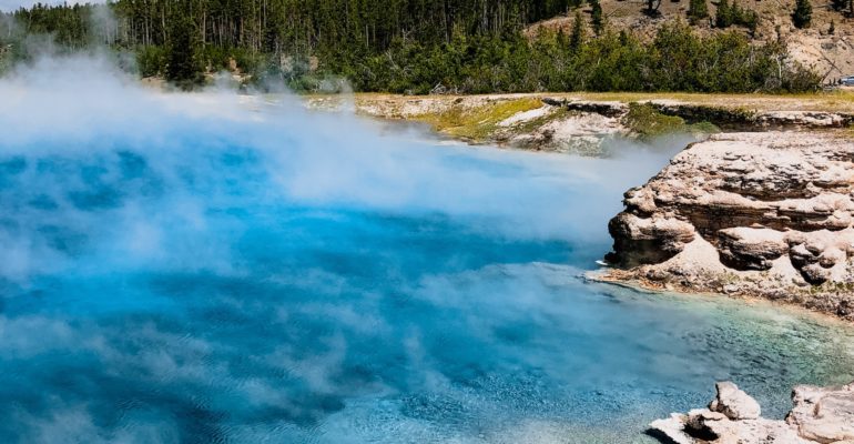
The Yellowstone Caldera is a massive volcanic crater located in Yellowstone National Park in the United States. The caldera is one of the largest active volcanic systems in the world, and is home to a variety of geothermal features, including geysers, hot springs, and fumaroles.
Geologists have been studying the Yellowstone Caldera for decades, using a variety of techniques to understand its complex geological history. GIS has played an important role in this research, allowing geologists to create detailed maps of the caldera and its surrounding area.
One of the key applications of GIS in the study of the Yellowstone Caldera has been the creation of hazard maps. By analyzing data from a variety of sources, including seismic data, satellite imagery, and geological maps, geologists have been able to identify areas that are at risk for volcanic eruptions, earthquakes, and other natural hazards.
These hazard maps have been used to develop strategies for managing the risks associated with the Yellowstone Caldera. For example, park officials have developed evacuation plans for visitors in the event of a volcanic eruption, and have installed monitoring equipment to detect any signs of increased volcanic activity.
Conclusion
GIS is a powerful tool for geologists and earth scientists, allowing them to analyze and visualize spatial data in ways that were not possible in the past. GIS has revolutionized the field of geology, enabling researchers to create detailed maps of geological features, analyze complex data sets, and develop strategies for managing natural hazards. The case study of the Yellowstone Caldera illustrates the importance of GIS in the study of complex geological phenomena, and highlights its potential for future research in the field of geology and earth sciences.


