Landslide Vulnerability Mapping Using Geospatial Technology
April 4, 2023 2023-04-04 11:01Landslide Vulnerability Mapping Using Geospatial Technology
Landslide Vulnerability Mapping Using Geospatial Technology
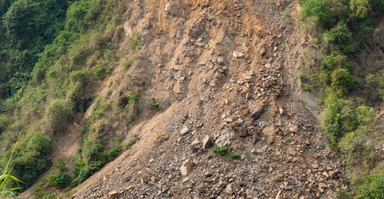
Landslides are one of the most common natural disasters that affect people and infrastructure around the world. They are a result of complex interactions between geological, hydrological, and environmental factors, and are often difficult to predict. However, with the advancements in geospatial technology, it has become possible to map and analyze landslide vulnerability, which can help prevent disasters and mitigate their impacts.
- Geospatial technology involves the use of geographic information systems (GIS), remote sensing, and other spatial tools to collect, manage, analyze, and visualize geospatial data. One of the most important applications of geospatial technology is landslide vulnerability mapping, which involves identifying areas that are at risk of landslides based on different factors such as slope, geology, land use, and rainfall.
-
Case Study
A case study that demonstrates the effectiveness of landslide vulnerability mapping using geospatial technology is the 2014 landslide in Oso, Washington, USA. On March 22, 2014, a massive landslide occurred in the town of Oso, killing 43 people and destroying 49 homes. The landslide was caused by heavy rainfall and a history of unstable geology in the area.
After the disaster, geospatial experts used GIS and remote sensing techniques to create a landslide susceptibility map of the area. They analyzed various factors such as slope steepness, soil type, and land use to determine the areas that were most vulnerable to landslides. The map showed that the area where the landslide occurred had a high susceptibility to landslides, which was consistent with the history of landslides in the area.
The landslide vulnerability map created by the geospatial experts was used by emergency responders and authorities to plan and execute rescue and recovery efforts. The map helped them identify the areas that were most affected by the landslide and prioritize their efforts accordingly. It also helped them identify the areas that were at risk of further landslides and take preventive measures to ensure the safety of the residents.
The success of the landslide vulnerability mapping in the Oso landslide highlights the importance of geospatial technology in disaster management and mitigation. By using geospatial tools to map and analyze landslide vulnerability, it is possible to identify areas that are at risk of landslides and take preventive measures to reduce the impact of disasters.
In conclusion, geospatial technology has revolutionized the way we approach disaster management and mitigation, particularly in the case of landslides. Landslide vulnerability mapping using GIS and remote sensing


