Mapping of Flooded Areas using Geospatial Technology: A Case Study
August 31, 2023 2023-08-31 14:10Mapping of Flooded Areas using Geospatial Technology: A Case Study
Mapping of Flooded Areas using Geospatial Technology: A Case Study
Flooding, one of the most common and destructive natural disasters, has significant impacts on the economy, environment, and human life. However, advancements in geospatial technology have revolutionized the way we manage and mitigate the effects of floods. In this paper, we will delve into the application of this technology in mapping flooded areas, with a specific focus on a case study in Houston during Hurricane Harvey in 2017.
Introduction to Geospatial Technology
Geospatial technology refers to equipment used in visualization, measurement, and analysis of earth’s features, typically involving GPS (global positioning systems), GIS (geographic information systems), and remote sensing.
GIS is a system designed to capture, store, manipulate, analyze, manage, and present spatial or geographic data. Remote sensing is the acquisition of information about an object or phenomenon without making physical contact with the object, primarily through the use of satellite or aircraft-based sensor technologies.
Mapping Flooded Areas
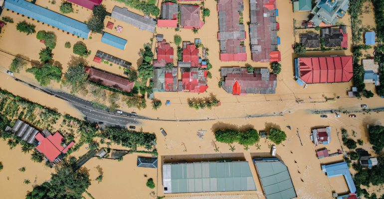
Geospatial technology plays a critical role in flood management, providing accurate maps of flood-prone regions, real-time tracking of floods, and post-flood damage assessment. The accurate data obtained from geospatial tools allows authorities to plan evacuations, organize relief efforts, and design flood-resistant infrastructure.During a flood, remote sensing technologies are used to monitor and assess the situation. Satellites and drones capture images, which are then analyzed using GIS tools to identify flooded regions. The processed data is superimposed on base maps to create comprehensive flood maps. These maps are shared with disaster management teams to aid in their response.
Case Study: Hurricane Harvey, Houston
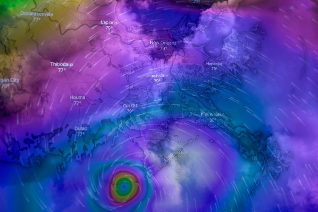
In August 2017, Hurricane Harvey struck Houston, Texas, causing widespread damage and flooding. The application of geospatial technology during this event was instrumental in managing the crisis.
Pre-event Planning
Before the hurricane, GIS tools were used to create flood hazard maps based on historical flood data, predicted rainfalls, and land elevation data. These maps identified regions most susceptible to flooding, guiding the construction of infrastructure and the planning of evacuation routes.
During the Event
As the hurricane struck, remote sensing technologies were used to monitor the situation in real time. Satellites like NASA’s Global Precipitation Measurement (GPM) mission provided images that helped estimate rainfall rates and totals. The National Oceanic and Atmospheric Administration (NOAA) also used aircraft to capture high-definition flood images. Simultaneously, crowdsourcing became a valuable tool for gathering on-the-ground information. Apps like the FEMA app and the Civil Air Patrol’s app allowed residents to report flooding in their areas, contributing valuable data to the mapping efforts.
Post-event Assessment
After the hurricane, remote sensing technologies were used to assess the extent of the damage. The before-and-after aerial imagery was used to identify areas with the heaviest flood impacts. This data helped in determining the areas that needed immediate attention and facilitated effective allocation of resources.GIS tools were also used to map the areas affected by the flood, determining the number of people affected, and calculating the economic losses. These maps were vital for planning recovery and rehabilitation efforts.
Conclusion
The case of Hurricane Harvey in Houston underscores the importance of geospatial technology in managing floods. By providing accurate and real-time data, this technology allows for effective planning, response, and recovery during flood events.

