Spatial Ecology and Conservation
May 9, 2023 2023-05-09 15:08Spatial Ecology and Conservation
Spatial Ecology and Conservation
Spatial ecology and conservation are two interconnected fields that aim to understand and protect the natural world. Spatial ecology refers to the study of the spatial patterns and processes that shape ecosystems, while conservation involves the protection and management of biodiversity and ecosystems. By combining the two, scientists and conservationists can better understand how to protect and manage the natural world.
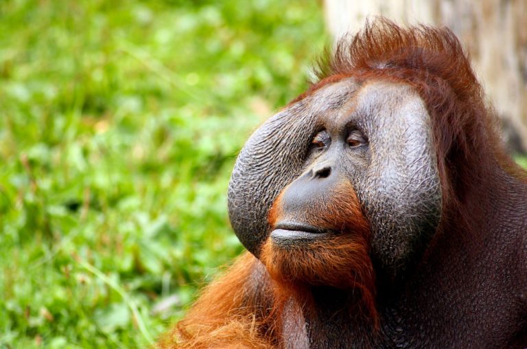
One case study that illustrates the importance of spatial ecology and conservation is the conservation of the Bornean orangutan.

The Case of Bornean orangutan
Bornean orangutans are a critically endangered species that can only be found on the island of Borneo. Their habitats are being destroyed due to deforestation and other human activities, which has led to a decline in their population.
To better understand the spatial patterns and processes that are affecting Bornean orangutans, researchers have used remote sensing and GIS technology to study their habitats. Remote sensing involves the use of satellite imagery and other types of data to analyze the Earth’s surface, while GIS (Geographic Information System) is a computer-based tool that can be used to manage, analyze, and visualize spatial data.
Using remote sensing and GIS, researchers have been able to map the distribution of Bornean orangutan habitats, identify areas that are most critical for their survival, and assess the impact of human activities on these habitats. For example, researchers have found that Bornean orangutan populations are more likely to survive in areas with intact forest cover, and that deforestation has a significant negative impact on their populations.
Based on these findings, conservationists have developed strategies to protect Bornean orangutans and their habitats. One such strategy is the creation of protected areas, such as national parks and wildlife reserves, where human activities are limited and orangutan habitats are preserved. In addition, conservationists are working with local communities to promote sustainable land use practices, such as agroforestry, that can provide economic benefits while also preserving orangutan habitats.
The case of the Bornean orangutan illustrates how spatial ecology and conservation can work together to protect endangered species and their habitats. By using remote sensing and GIS technology, researchers can identify areas that are most critical for conservation, and develop strategies to protect these areas. These strategies can then be implemented by conservationists, who work with local communities to ensure the long-term sustainability of these habitats.
In conclusion, spatial ecology and conservation are essential fields for understanding and protecting the natural world. By combining the two, researchers and conservationists can develop effective strategies for protecting endangered species and their habitats, such as the Bornean orangutan. It is important that we continue to invest in these fields so that we can better understand and protect the biodiversity and ecosystems that sustain life on Earth
.


