Special instructor Program : Training
Many creators are overwhelmed by the number of variables, unknowns, …
What you'll learn
We have created a special program to help you through the process of creating and selling the course.
What we’ll teach you
How to create professional course content people will love
Pricing strategies that work
Create a content pyramid to get people started with your learning content as soon as possible.
Finding students who are required to buy
Build an audience
Convincing students
Features available on the platform.
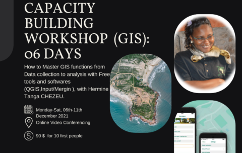
Capacity Building Workshop Geographical Information Systems (GIS): 06 DAYS
This training aims to allow participants to master the different …
What you'll learn
Understand GIS: their components, processes, uses and types of data;
Be autonomous on mobile GIS geolocation tools and data collection and supervision techniques;
Model and set up a GEODATABASE
Carry out thematic analyzes by categorization to facilitate decision-making;
Produce maps by theme
Design and produce thematic and interactive maps on ArcGis Online
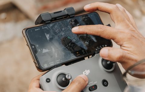
Drone Mapping : Turn your drone in productivity tool
In the last year, the drone industry has exploded. This …
What you'll learn
By the end of this course you will be able to:
1. Briefly explain what a Drone/UAV/UAS is, how the technology works, and what it currently costs
2. Clarify the Drone mapping system components
3. Discuss Drone mapping workflow
4. Describe Drone mapping applications in GIS
5. Briefly describe the projected market for Drone technology
6. Discuss Challenges faced in Drone mapping


