Sorry, we can not find any courses for this search.
You may want to check Our Hot Courses:
Featured
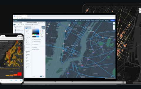
Advanced courses of Webgis Programming: from the Beginner to Expert
What you'll learn
This course will provide you with the knowledge you need to :
create a Leaflet web map
add map controls
choose from a variety of background maps
add your own GIS to it
style your data
find specific data
analyze spatial relationships
At the end of the course you will be able to create web interfaces to view, search, and analyze your GIS data and make them accessible to anyone with a web interface for free!
what you will learn in this course?
to find and zoom to your position on a map
to use leaflet controls for user interface, geocoding, editing, and loading data
to use background maps
to create vector data and style it in your map
to export your GIS data to GeoJSON format and load it into the map
to filter a subset of your data
to search for specific data elements and view their attributes
to analyze spatial relationships
more and more
Free
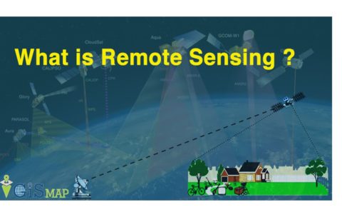
Principle of remote sensing
What you'll learn
At the end of the course students will be able to:
• Identify the principles of how remote sensing images are acquired
• Understand how Electromagnetic radiation interacts with the Earth & Atmosphere
• Interoperate and extract usable information from remotely sensed images using remote sensing image processing computer systems
• Explore the potential applications of remote sensing images in solving real-world geographic problems.
• Examine the advantages of using remote sensing image data in solving real-world geographic problems
• Identify the characteristics of different types of remote sensing images and their respective application
Featured
Free
Special instructor Program : Training
What you'll learn
We have created a special program to help you through the process of creating and selling the course.
What we’ll teach you
How to create professional course content people will love
Pricing strategies that work
Create a content pyramid to get people started with your learning content as soon as possible.
Finding students who are required to buy
Build an audience
Convincing students
Features available on the platform.
Featured
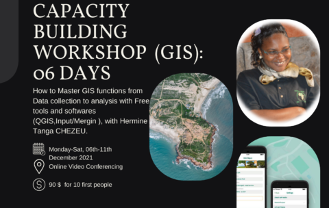
Capacity Building Workshop Geographical Information Systems (GIS): 06 DAYS
What you'll learn
Understand GIS: their components, processes, uses and types of data;
Be autonomous on mobile GIS geolocation tools and data collection and supervision techniques;
Model and set up a GEODATABASE
Carry out thematic analyzes by categorization to facilitate decision-making;
Produce maps by theme
Design and produce thematic and interactive maps on ArcGis Online
Free
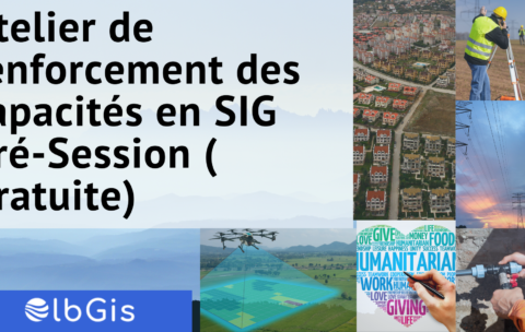
Atelier de renforcement des capacités en SIG Pré-Session (gratuite)
What you'll learn
Les généralités sur les SIG
Les différentes applications des SIG
une meilleure appréhension des technologies SIG
Featured
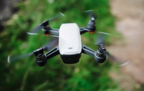
Drone Mapping : Turn your drone in productivity tool (advanced level)
What you'll learn
At the End of this section you will be able to:
- Analyse Map soils,
- Analyse vegetations,
- Analyse surface hydrology
- And Analyse ground-water using drone technology.

Featured
Drone Mapping : Turn your drone in productivity tool
What you'll learn
By the end of this course you will be able to:
1. Briefly explain what a Drone/UAV/UAS is, how the technology works, and what it currently costs
2. Clarify the Drone mapping system components
3. Discuss Drone mapping workflow
4. Describe Drone mapping applications in GIS
5. Briefly describe the projected market for Drone technology
6. Discuss Challenges faced in Drone mapping

Featured
Free
Olbgis Conference 2020
What you'll learn
You will understand how GIS (Geographical Information System) is changing the world through its usage and applications.
During the conference, we will present you with 02 GIS applications to help you open your mind to how GIS is affecting your daily life.
The first topic will be GIS in Utilities: Upstream & Downstream Network; Operations Management in GIS. Incident Management. Reporting & Business Intelligence.
The second topic will be: Application of GIS and remote sensing in agriculture (case of Egypt), you will better understand crop productivity and monitoring using the Crop Assimilation Model tool in GRASS GIS.
