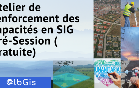
Atelier de renforcement des capacités en SIG Pré-Session (gratuite)
L’Association Geotraining organise Mardi 09 Novembre et le Samedi 13 …
What you'll learn
Les généralités sur les SIG
Les différentes applications des SIG
une meilleure appréhension des technologies SIG
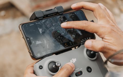
Drone Mapping : Turn your drone in productivity tool
In the last year, the drone industry has exploded. This …
What you'll learn
By the end of this course you will be able to:
1. Briefly explain what a Drone/UAV/UAS is, how the technology works, and what it currently costs
2. Clarify the Drone mapping system components
3. Discuss Drone mapping workflow
4. Describe Drone mapping applications in GIS
5. Briefly describe the projected market for Drone technology
6. Discuss Challenges faced in Drone mapping


