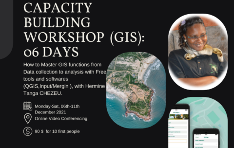
Capacity Building Workshop Geographical Information Systems (GIS): 06 DAYS
This training aims to allow participants to master the different …
What you'll learn
Understand GIS: their components, processes, uses and types of data;
Be autonomous on mobile GIS geolocation tools and data collection and supervision techniques;
Model and set up a GEODATABASE
Carry out thematic analyzes by categorization to facilitate decision-making;
Produce maps by theme
Design and produce thematic and interactive maps on ArcGis Online
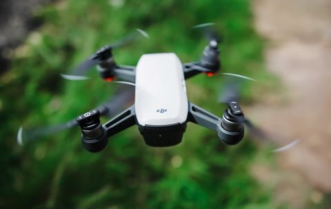
Drone Mapping : Turn your drone in productivity tool (advanced level)
In the last year, the drone industry has exploded. This …
What you'll learn
At the End of this section you will be able to:
- Analyse Map soils,
- Analyse vegetations,
- Analyse surface hydrology
- And Analyse ground-water using drone technology.


