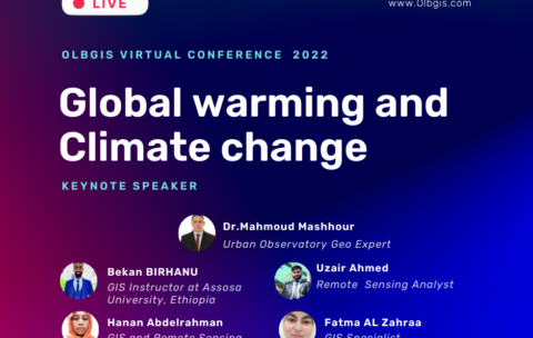
Olbgis Virtual Conference 2022 : Global Warming and Climate Change
Olbgis Conference 2022 is the leading conference for GIS specialists …
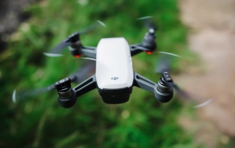
Drone Mapping : Turn your drone in productivity tool (advanced level)
In the last year, the drone industry has exploded. This …
What you'll learn
At the End of this section you will be able to:
- Analyse Map soils,
- Analyse vegetations,
- Analyse surface hydrology
- And Analyse ground-water using drone technology.


