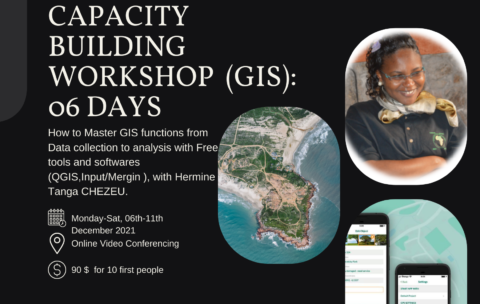
Capacity Building Workshop Geographical Information Systems (GIS): 06 DAYS
This training aims to allow participants to master the different …
What you'll learn
Understand GIS: their components, processes, uses and types of data;
Be autonomous on mobile GIS geolocation tools and data collection and supervision techniques;
Model and set up a GEODATABASE
Carry out thematic analyzes by categorization to facilitate decision-making;
Produce maps by theme
Design and produce thematic and interactive maps on ArcGis Online
Atelier de renforcement des capacités en SIG Pré-Session (gratuite)
L’Association Geotraining organise Mardi 09 Novembre et le Samedi 13 …
What you'll learn
Les généralités sur les SIG
Les différentes applications des SIG
une meilleure appréhension des technologies SIG


