Popular Topics
Popular Instructors
All Crop Forecasting Courses
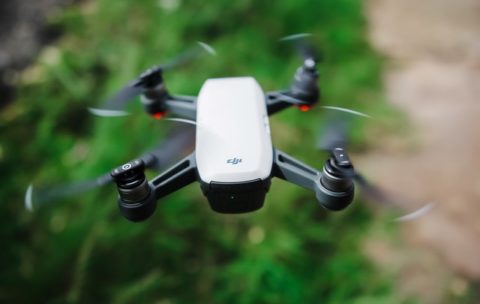
Drone Mapping : Turn your drone in productivity tool (advanced level)
In the last year, the drone industry has exploded. This …
What you'll learn
At the End of this section you will be able to:
- Analyse Map soils,
- Analyse vegetations,
- Analyse surface hydrology
- And Analyse ground-water using drone technology.
Olbgis Conference 2020
Olbgis Conference 2020 is the leading conference for GIS specialists …
What you'll learn
You will understand how GIS (Geographical Information System) is changing the world through its usage and applications.
During the conference, we will present you with 02 GIS applications to help you open your mind to how GIS is affecting your daily life.
The first topic will be GIS in Utilities: Upstream & Downstream Network; Operations Management in GIS. Incident Management. Reporting & Business Intelligence.
The second topic will be: Application of GIS and remote sensing in agriculture (case of Egypt), you will better understand crop productivity and monitoring using the Crop Assimilation Model tool in GRASS GIS.


