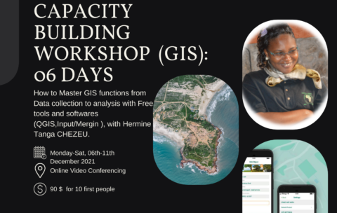
Capacity Building Workshop Geographical Information Systems (GIS): 06 DAYS
This training aims to allow participants to master the different …
What you'll learn
Understand GIS: their components, processes, uses and types of data;
Be autonomous on mobile GIS geolocation tools and data collection and supervision techniques;
Model and set up a GEODATABASE
Carry out thematic analyzes by categorization to facilitate decision-making;
Produce maps by theme
Design and produce thematic and interactive maps on ArcGis Online
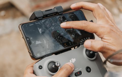
Drone Mapping : Turn your drone in productivity tool
In the last year, the drone industry has exploded. This …
What you'll learn
By the end of this course you will be able to:
1. Briefly explain what a Drone/UAV/UAS is, how the technology works, and what it currently costs
2. Clarify the Drone mapping system components
3. Discuss Drone mapping workflow
4. Describe Drone mapping applications in GIS
5. Briefly describe the projected market for Drone technology
6. Discuss Challenges faced in Drone mapping
Olbgis Conference 2020
Olbgis Conference 2020 is the leading conference for GIS specialists …
What you'll learn
You will understand how GIS (Geographical Information System) is changing the world through its usage and applications.
During the conference, we will present you with 02 GIS applications to help you open your mind to how GIS is affecting your daily life.
The first topic will be GIS in Utilities: Upstream & Downstream Network; Operations Management in GIS. Incident Management. Reporting & Business Intelligence.
The second topic will be: Application of GIS and remote sensing in agriculture (case of Egypt), you will better understand crop productivity and monitoring using the Crop Assimilation Model tool in GRASS GIS.


